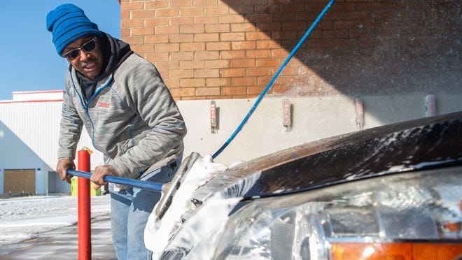
As snow and ice strain utilities and services in the Mid-South, residents brace for more
 Sarah Macaraeg
Days after an uncharacteristic freeze saw snow pile up and ice cover roads across the Mid-South, multiple regions were grappling with the dangerous and, at times, deadly results of Sunday's storm — while bracing for additional precipitation the National Weather Service expected to accumulate in some areas by Thursday morning.
Louisiana and Mississippi were contending with power outages and electricity shortages, with residents in both states bearing the added burden of water utility issues.
Tennessee's two largest cities hadn't been dealt a similar level of power problems, though like Louisiana, the state has record weather-related deaths.
For select portions of Mid-South states, in the southern parts of Alabama and Louisiana, the extreme weather had relented. Or, the precipitation had at least paused, as was the case in northwest Arkansas. Elsewhere in the Mid-South, though, residents largely awaited the third round of winter weather expected to commence Wednesday.
Mississippi
From power outages and boil notices to expected water main breaks and highway closures, central Mississippi residents were contending with a host of storm-related issues — while bracing for additional freezing rain and sleet predicted through Thursday morning.
Closures included the majority of the state's vaccination sites, large stretches of interstates and highways and the Jackson airport. Drivers were urged to stay off roadways and only travel when absolutely necessary. Officials expected roads to remain hazardous until the weekend, as sub-freezing temperatures prevent ice melt or cause melted precipitation to refreeze into black ice along roads and bridges.
By early Wednesday morning, roughly 18,700 customers were without power in Mississippi, according to Poweroutage.us. The hardest-hit counties lie in a northeasterly line from Pike County to Kemper County. Counties in the northwestern part of the state have experienced significant numbers of outages as well during the storm.
In Jackson, nearly 43,000 water customers were under a boil water advisory after equipment at the city's water treatment plants was affected by the record cold, according to a press release. The city was also preparing for an expected high volume of water main breaks according to Jackson Public Works Director Charles Williams.

More:Live weather updates: Winter Storm Warning issued for Mississippi as road conditions stay slick
West and Middle Tennessee
In West Tennessee, three Shelby County deaths that could have been caused by hypothermia were under investigation as the Memphis area braced for more snow Wednesday. Vaccination sites in the county are closed through Saturday. Amid the dangerous conditions schools, area schools have either closed or are holding classes virtually.

In Middle Tennessee, the bulk of the snow was expected overnight, said NWS Meteorologist Caroline Adcock.
"We're definitely going to get a dump late Wednesday night," Adcock said. Travel, she said, may become difficult on Thursday.
Three to four inches of snow were possible in Nashville and two to three inches were expected in other areas including Clarksville and Columbia.
Meteorologists don't expect snow to start melting in middle Tennessee until the weekend.
More:Weather updates: Nashville road conditions stay slick as more wintry weather expected
Alabama

Northwest Alabama remained under the National Weather Service's winter storm warning until Thursday morning. "Snow and sleet accumulations up to 2 inches with locally higher amounts and freezing rain accumulations up to a tenth of an inch will be possible," the NWS Birmingham office cautioned residents of northwest counties.
But "little impact" from the ongoing storm was expected elsewhere in the state Wednesday, according to the NWS. High temperatures in the 40s were expected near Tuscaloosa and in the 50s near Montgomery, where the sun is back out for residents, with a chance of rain, rather than snow, later in the day.
More:Rain expected Wednesday night in Tuscaloosa, but no ice
Arkansas
Snowfall had also largely subsided in the northwest corner of Arkansas as of Wednesday. But between two to eight inches of snow was expected elsewhere across the state by Thursday morning, with the Little Rock region hit heaviest. Residents of eastern Arkansas, near Memphis, could expect between three to six inches, according to the NWS forecast.
Even without additional snowfall, where temperatures remain below freezing, vigilance is still required, said meteorologist Joe Sellers. "The roads are still snow-covered, snow-packed, so they're going to be slick."
Blowing snow makes for dangerous travel and buildings burdened by the weight of too much snow can be compromised, the NWS Little Rock office wrote in a winter storm advisory Wednesday effect throughout the state until Thursday.

More:Fort Smith snowpack topped with 2 inches of snow; won't melt until Thursday
Louisiana
As a "last resort" effort ahead of a second freeze predicted to hit northern Louisiana Wednesday, power grids in the state instituted rolling blackouts in an effort to lessen electricity shortages.
Gov. John Bel Edwards said he briefed President Joe Biden on Louisiana's weather emergency Tuesday.
“Because of extremely cold temperatures over the last several days, the demand for electricity has reached an all-time high," Edwards said. "I spoke with President Biden about our ongoing challenges in Louisiana because of this severe weather, including my concerns about Louisianans facing power outages in such cold temperatures."
More:Deep South freeze: 3 dead in Louisiana as power grids struggle with rolling blackouts

In Shreveport, the winter storm forced the closure of City Court and the cancellation of elective procedures at hospitals in the area, where the chance of snow and sleet is 100% — though it may amount to less than an inch. Although a high near 29 is expected, wind chill values will be as low as 10.
All Bossier schools and centers will remain closed for the rest of the week, including virtual classes.
Later in the day, some central Louisiana customers were told they'd need to boil their water because of low pressure plaguing the system.
More:Shreveport weather updates: Winter storm warning in effect through noon Thursday